
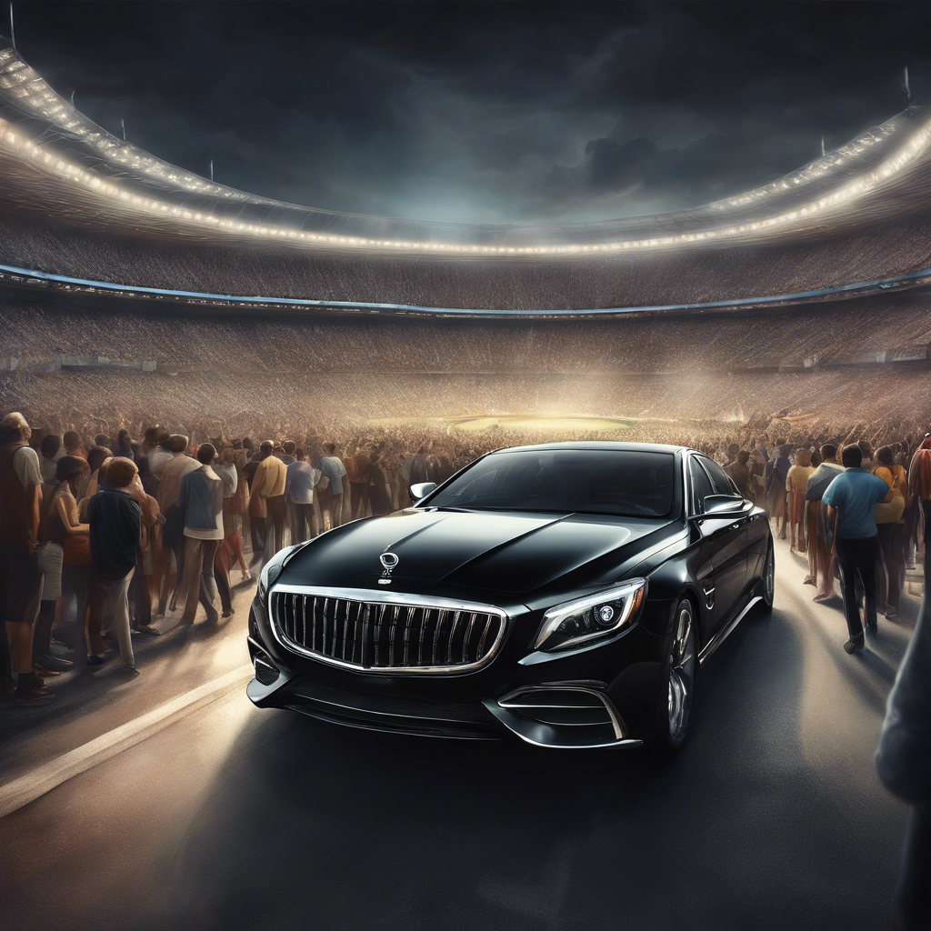
Rev up your engines, NASCAR fans! The Straight Talk Wireless 400 is roaring into town this weekend at the Homestead-Miami Speedway , promising an adrenaline-packed experience from March 21 to 23, 2025 .


Experience the 2025 Miami International Boat Show in Ultimate Luxury with 515 MIAMI Miami is set to host one of the most anticipated events of the year—the 2025 Miami International Boat Show . From February 13-17, the world’s premier marine exhibition will showcase cutting-edge yachts, marine technology, and high-end nautical lifestyle products. With thousands of visitors expected, navigating through the bustling streets of Miami can be a challenge. That’s where 515 MIAMI , your premier luxury private car service in Miami , comes in to ensure a seamless and stress-free experience. Why Choose a Private Car Service for the Miami Boat Show? 1. Arrive in Style & Comfort The Miami Boat Show is a luxury event, and your transportation should match the occasion. With 515 MIAMI , you can enjoy a first-class experience in a chauffeured luxury SUV, sedan, or Sprinter van . Our fleet is designed to provide unparalleled comfort, whether you're attending the show for business or leisure. 2. Hassle-Free Transportation Miami traffic, especially during high-profile events like the Miami International Boat Show , can be overwhelming. Avoid the frustration of searching for parking or dealing with congested roads. With 515 MIAMI , you get a professional driver who knows the best routes to get you to and from the show effortlessly. 3. Convenience & Efficiency With multiple venues, including the Miami Beach Convention Center, One Herald Plaza, Venetian Marina, and Museum Park Marina , getting around can be complicated. 515 MIAMI offers seamless point-to-point transfers, ensuring you make the most of your time at the show without unnecessary delays. 4. VIP Treatment At 515 MIAMI , we cater to an elite clientele who expect top-notch service. Whether you need a last-minute ride or a full-day chauffeur, our drivers provide the discretion, professionalism, and punctuality that you deserve. Book Your Luxury Ride for the Miami International Boat Show Don’t let traffic or parking ruin your experience at the 2025 Miami International Boat Show . Book your private luxury car service in Miami today with 515 MIAMI and enjoy the ultimate convenience and sophistication. Visit www.515miami.com to reserve your ride now! About 515 MIAMI 515 MIAMI is a premier private car service in Miami , offering luxury transportation for high-end events, business meetings, airport transfers, and private tours. With a commitment to excellence, we ensure every ride is a five-star experience.

### Taylor Swift Concert in Miami: A Magical Experience Awaits! Mark your calendars, Swifties! Taylor Swift is set to light up Miami on October 18th, 19th, and 20th, bringing her unparalleled energy and captivating performances to one of the most vibrant cities in the world. Whether you're a lifelong fan or new to her music, this is an event you won't want to miss! #### A Glimpse into Taylor Swift’s Life Taylor Swift's journey from a small-town girl to a global superstar is nothing short of inspirational. Born in Reading, Pennsylvania, she began her career at an early age, showcasing her talent with a unique blend of country, pop, and rock music. Over the years, Taylor has released numerous chart-topping albums, including "Fearless," "1989," and "Folklore," each reflecting her growth as an artist and a storyteller. Known for her heartfelt lyrics and dynamic performances, she has garnered countless awards and a dedicated fan base, making her one of the most influential musicians of our time. As she prepares for her Miami concerts, fans can expect an unforgettable experience as she performs her greatest hits and perhaps even some surprises. The atmosphere will be electric, filled with anticipation and the iconic melodies that have defined a generation. #### Arriving in Style with 515 MIAMI To make the most of your concert experience, consider traveling in style with 515 MIAMI, the premier limo service in the area. Whether you're arriving at the airport or attending pre-concert events, their luxurious vehicles and exceptional service will ensure that your journey is as memorable as the concert itself. **Airport Arrivals:** After a long flight, why not start your Miami adventure in comfort? 515 MIAMI offers streamlined airport pick-up services, allowing you to relax and enjoy the ride to your hotel or concert venue. Their professional chauffeurs are dedicated to providing a smooth and hassle-free experience. **Pre-Concert Events:** Miami is known for its vibrant nightlife and diverse dining options. Before the concert, gather your friends and enjoy a delicious meal or explore local attractions. 515 MIAMI can take you to the hottest spots in town, ensuring you arrive in style and on time. **Concert Days:** On the days of the concert, 515 MIAMI will be at your service, providing reliable transportation to and from the venue. With their luxurious fleet and attention to detail, you can focus on enjoying the concert without worrying about parking or traffic. #### Conclusion The Taylor Swift concert in Miami promises to be a spectacular event filled with music, excitement, and unforgettable memories. As you prepare for this incredible experience, remember to travel in style with 515 MIAMI. With their top-notch limo services, you can ensure that every aspect of your adventure is as fabulous as the concert itself. Don’t miss out on this opportunity to see one of the greatest artists of our time—grab your tickets, book your ride, and get ready for an unforgettable night!

📅 Picture this: it's Christmas morning, and you're torn between spending the day at home, surrounded by loved ones, or embarking on an adventure, traveling to a new destination. Is Christmas Day the best or worst day to travel? Let's explore both sides of the coin! 🎁 🌟 The Best Day to Travel on Christmas 🌟 ✈️ Smooth Sailing: Traveling on Christmas Day can often be a breeze. Many people choose to stay put and celebrate at home, which means airports and highways are less crowded. This can lead to shorter lines, less traffic, and a smoother overall travel experience. 🎅 Festive Atmosphere: Traveling on Christmas Day can be a unique and magical experience. Airports and train stations are adorned with decorations, and there's a sense of joy and excitement in the air. Plus, you might even get to witness some creative holiday outfits or hear carolers spreading cheer. 🎁 Special Deals: Airlines and hotels often offer special deals and discounts for those brave enough to travel on Christmas Day. So, if you're looking to save some money while exploring a new destination, this might be the perfect time to do so. 🌟 The Worst Day to Travel on Christmas 🌟 🚗 Limited Services: While traveling on Christmas Day can be an adventure, it's essential to note that some services might be limited. Public transportation schedules may be reduced, and shops and restaurants might have limited opening hours. It's crucial to plan ahead and ensure you have all your essentials in place. ❄️ Unpredictable Weather: Depending on your location, Christmas Day can bring unpredictable weather conditions. Winter storms, snow, or icy roads can disrupt your travel plans and lead to delays or cancellations. It's crucial to check the weather forecast and stay updated on any potential disruptions. 🎄 Missing Out on Traditions: Traveling on Christmas Day means being away from home and potentially missing out on cherished family traditions. If spending time with loved ones and participating in annual festivities is a priority for you, it might be best to save your travels for another time. 🌟 The Verdict 🌟 Ultimately, whether Christmas Day is the best or worst day to travel depends on your personal preferences and circumstances. If you're up for an adventure, enjoy the festive atmosphere, and don't mind potential limitations, traveling on Christmas Day can be a memorable experience. However, if traditions and being with family are a top priority, it might be best to opt for another time to embark on your travels. Remember, the joy of Christmas can be found in many different ways, whether it's exploring new destinations or celebrating with loved ones at home. The choice is yours! 🎄✨🌎
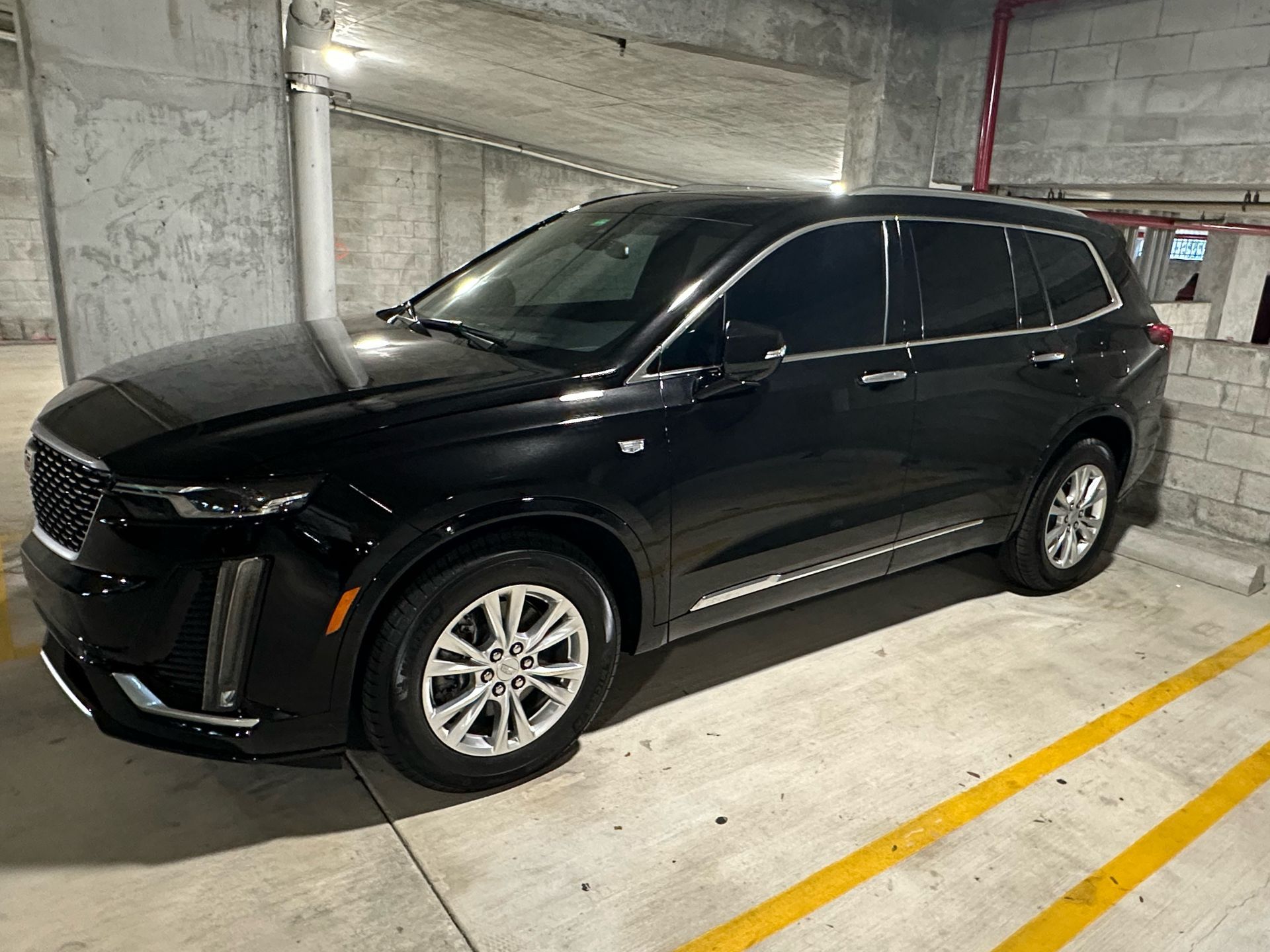
"Introducing the newest addition to our fleet, the stunning 2024 Cadillac XT6! 🚀✨ Experience the epitome of luxury and comfort with 515 MIAMI. 🌟✨ Step into this sleek and stylish vehicle, designed to elevate your ride to a whole new level. 💫💼 Make your reservation now and be one of the first to enjoy a ride in this incredible machine. 🚗💨 Visit our website today and book your unforgettable journey: www.515miami.com 🌐📲 #515MIAMI #NewFleetAddition #CadillacXT6 #LuxuryRide #BookNow #ExperienceTheBest"